Black Hill Station
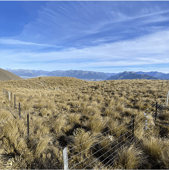
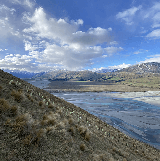
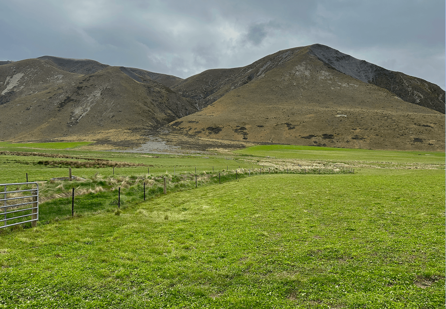
Black Hill Station is a 2,702 hectare high country sheep and beef station nestled above the Rakaia River in the Canterbury high country
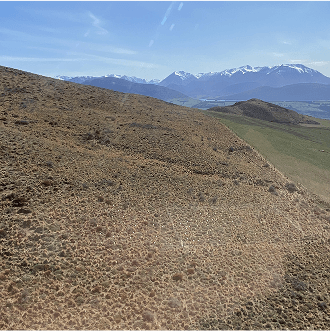
The surrounding area is an expanse of tussock covered terrain, alpine streams and mountainous ranges. The farm extends from 380m to 1,500m above sea level, from high producing river flats up to very steep hill country. The average rainfall is 879mm/year.
In 2024, Verity NZ registered a 1,146 ha natural regeneration carbon project on Black Hill Station.
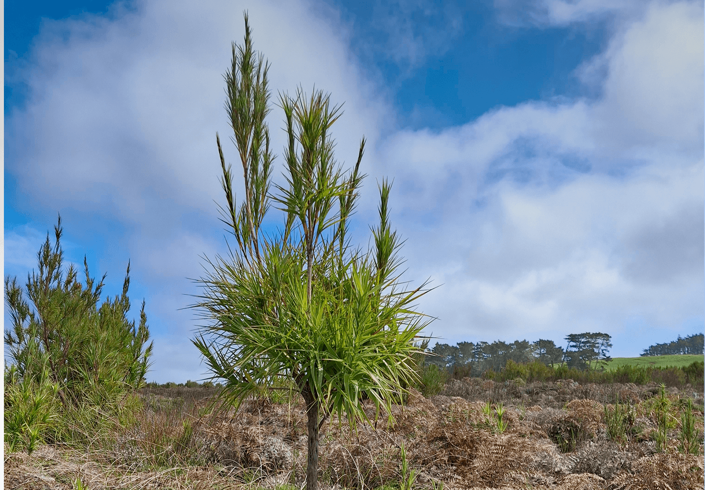
Project areas will be target grazed to utilise stock for seed-to-soil contact (‘hoof and tooth’ method), allowing light into the bottom of the sward to promote native seed growth. Initially grey scrub will regenerate, followed by climax species such as tōtara and beech. Aerial seeding of native species will speed up the regeneration process.
Income will be generated from carbon credits as the woody vegetation grows, and from soil carbon sequestration.
The project will have Measuring, Reporting and Verification (MRV) undertaken every two years in line with registry requirements, where measurements will be taken of vegetation growth and species density, and the soil will be sampled for carbon content. Remote sensing using drones, LiDAR and satellites will also assist with assessing vegetation cover.

The 1,146 ha of regenerating native vegetation on Black Hill Station will sequester a total of 673,530 tCO2e over the 60 year lifetime of the project.
The Canterbury high country is home to several rare or threatened native species, including skinks, kea (Nestor notabilis), New Zealand falcon (Falco novaeseelandiae), and several freshwater galaxis fish species.
Natural regeneration - which can be assisted through aerial seeding of eco sourced native seeds - will restore habitat for native fauna and restore areas degraded by historic fires and land clearance.
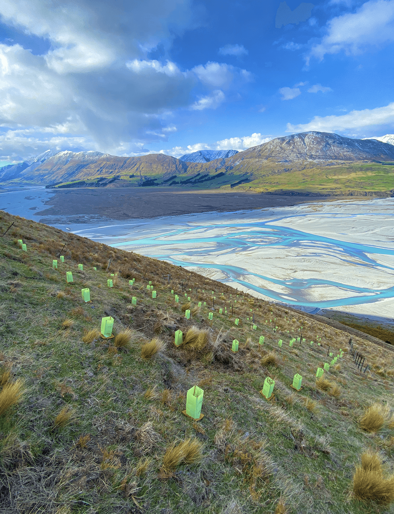
Verity NZ have set up 19 field trial plots Black Hill Station. Over time, these plots will provide data about natural and assisted regeneration under several different conditions:
Aspect
Altitude
Differences in rainfall from altitude
Planting in fenced vs. unfenced areas
Aerial seeding in fenced vs. unfenced areas
Intermittent grazing for seed establishment
Intermittent grazing for weed control.
Field trial results from monitoring will be used for:
Designing optimal natural regeneration projects on different land types around New Zealand.
Calibrating Verity’s remote sensing technology such as LiDAR for canopy height modelling and species recognition.
Filling in gaps in current research about the benefits of intermittent grazing on native species establishment.