/
Reimagining agriculture and nature - based solutions.
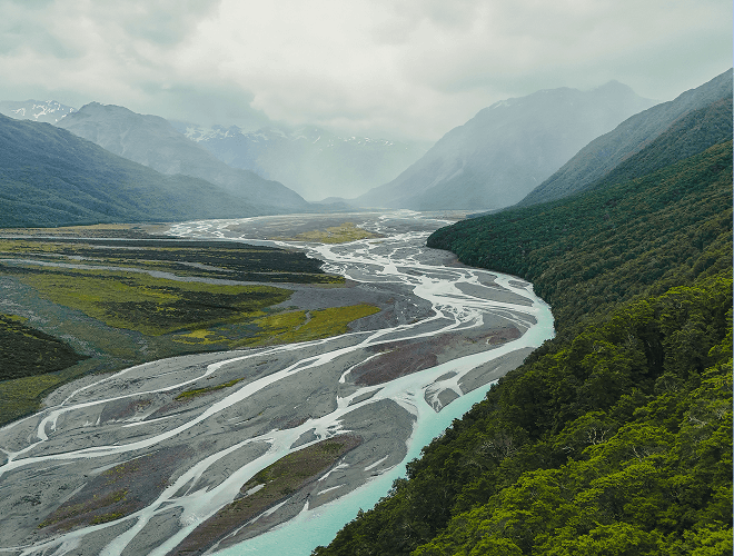
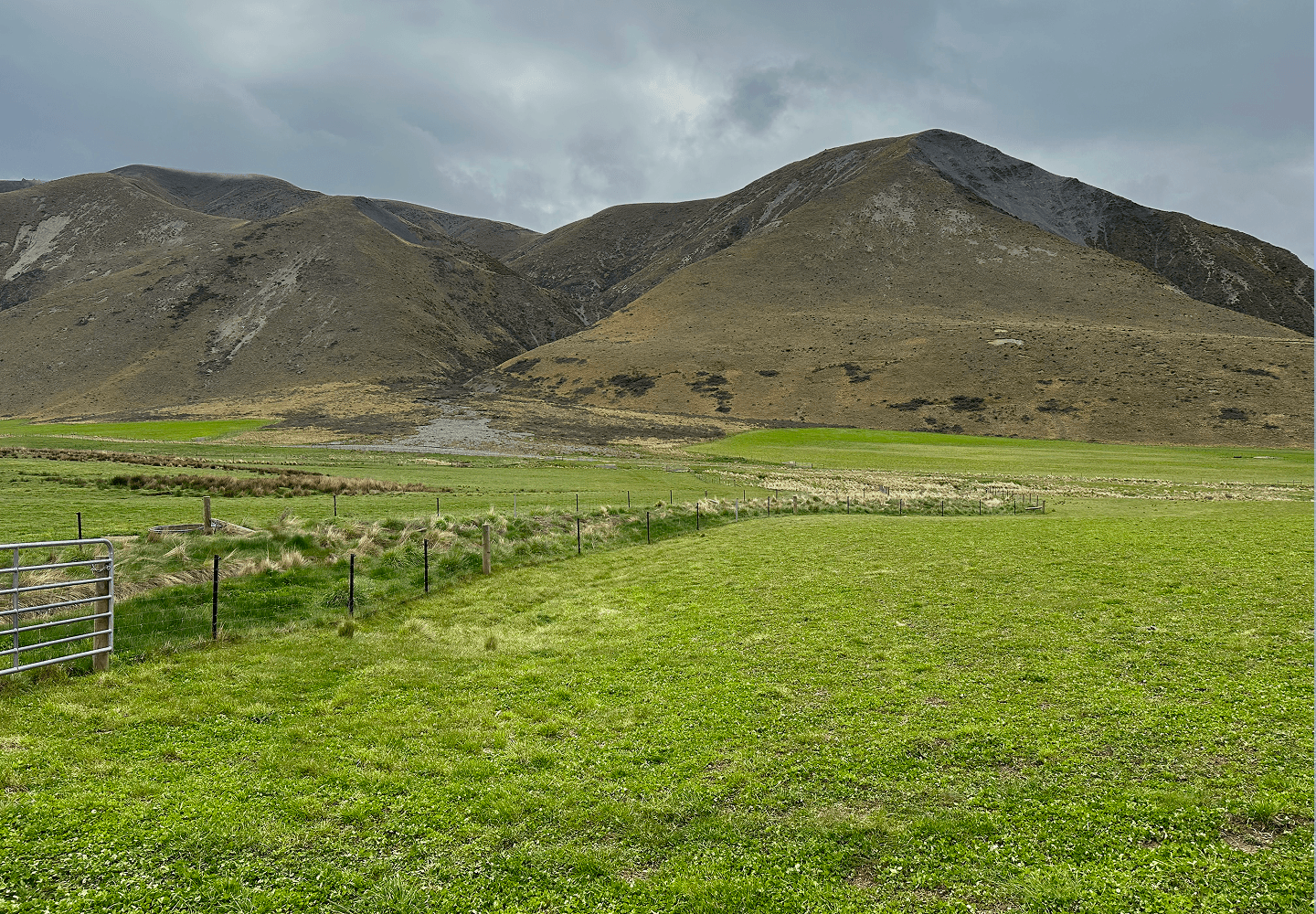
Restoring nature and acting on climate change
Our purpose is to empower communities using agriculture and nature–based solutions to drive large–scale climate action using science, technology, and innovative financing.

The Verity NZ office in Methven opened in July 2024
We take care of all project development, implementation, registration and the ongoing monitoring and requirements for your project in the Voluntary Carbon Market (VCM).
Our local staff have a broad range of experience and are experts at setting up and managing long-term carbon projects.
This allows Verity NZ to access technology, finance, carbon markets and expertise that would otherwise be difficult to get.
We are supported by Verity Nature who are a global carbon and co–benefits project developer that provide a “one–stop–shop, seed to credit model” with projects in Australia, New Zealand, Kenya and Uganda.
Verity NZ is a branch of Verity Nature led by Duncan and Fee Ensor, high country farmers from the Rakaia Gorge in Mid Canterbury, who administer the day–to–day operations.
As part of the global Verity Nature Group, Verity NZ combines local knowledge with global expertise. Our diverse team of world–leading experts cover every aspect of your project (from seed to credit).
Traditional funding models are often unstable, with changing priorities leading to funding being withdrawn, resulting in negative financial and environmental impacts.
As a “profit for purpose” developer of carbon and co–benefit projects, Verity NZ offers a model for “commercialising conservation.”
Verity NZ manages all aspects of carbon farming, collaborating with landowners to plan, develop and maintain projects, as well as measuring, verifying and selling carbon credits.

How does it work?
The land entered into the carbon project has a covenant placed on it. Verity NZ covers all reasonable costs associated with the project and shares the proceeds from the sale of carbon and co-benefit credits.
What does it cost the landowners?
Verity NZ covers the costs of baselining, project implementation and ongoing Measuring, Reporting and Verification (MRV).
How involved is the landowner?
It is your land, you decide. We will work with you to make sure we are all on the same page.
Will there be ongoing jobs for locals?
Absolutely, there will be jobs created for the life of the project (30 years is the minimum project lifespan) depending on what agreements individual landowners have with Verity NZ.


ACRONYMS
PDD –
Project Description Document
ILMA –
Integrated Land Management Agreement
MRV –
Measuring, Reporting and Verification
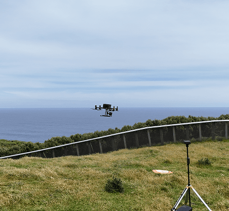

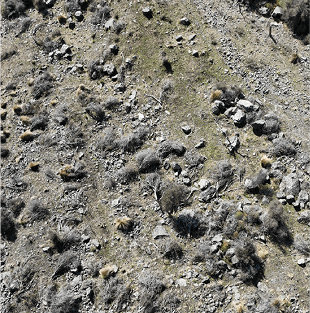
Drone photo imagery shows current vegetation cover and substrate. This imagery is used to train the LiDAR sensing technology to assess vegetation cover and type.

High resolution LiDAR elevation data shows slope and water pathways which can’t be seen on standard satellite imagery.

Satellite imagery is used for planning drone flights and assessing long term change.
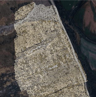
Drone imagery is stitched together to provide an up–to–date assessment of current land use and vegetation cover. In addition to other tools, visible changes to land cover are tracked to assess carbon sequestration and/or emissions reductions.
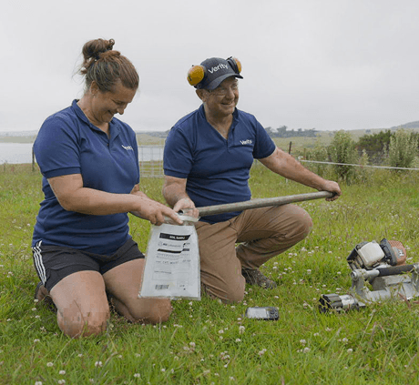
Meet our multidisciplinary team.


Verity NZ's office in Methven opened in July 2024. We operate all around New Zealand, including on the outer islands.
Call in for a cup of tea the next time you pass through!


